Government agencies communicate via .gov.sg websites (e.g. go.gov.sg/open). Trusted websites
Look for a lock () or https:// as an added precaution. Share sensitive information only on official, secure websites.
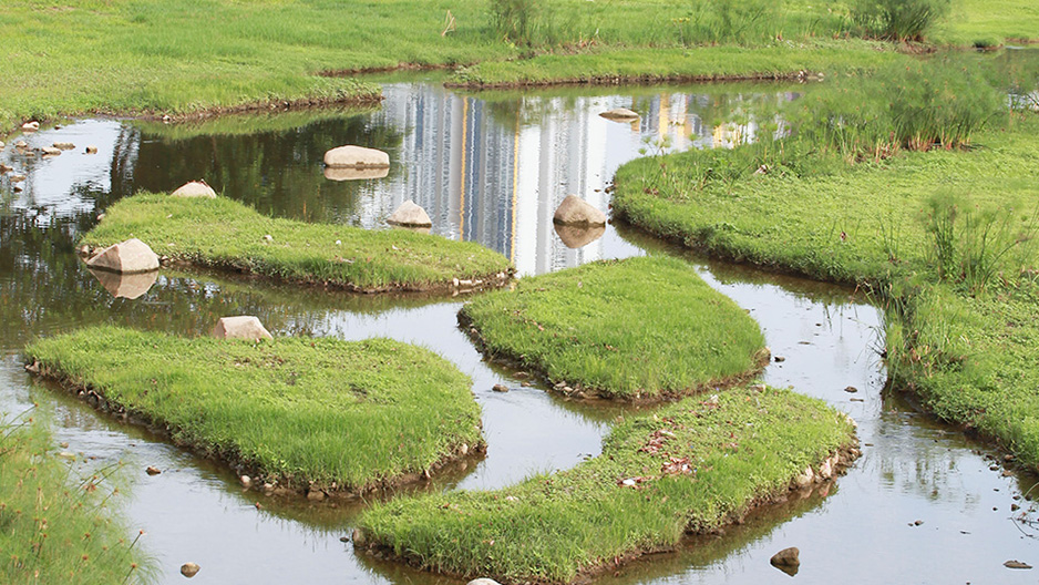
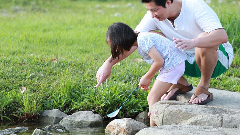
The lush and meandering Kallang River running through the park used to be a concrete canal confined to the southern edges of the park. Under the Active, Beautiful, Clean Waters (ABC Waters) Programme, the Public Utilities Board (PUB) demolished the canal in favour of a more natural and aesthetically pleasing river. You can now go closer to the water and admire the wonders of nature.
The river flows from west to east, starting from Lower Peirce Reservoir Park and then down to Marina Barrage. During dry weather, water comes from the surrounding catchment, where the surface runoff from Upper Thomson, Ang Mo Kio and Bishan estates merges with groundwater seepage from the area into the river.
During heavy rain, the water level in the river can rise up to 3m high. A river monitoring system with water level sensors will provide early warning in the event of impending heavy rain or rising water levels. Warning signs, red makers, life buoys and CCTVs have also been put up along the river.
When there is heavy rain, the system will trigger warning lights, sirens and safety announcements at 11 safety nodes throughout the park. This is to alert visitors to move away from the river banks to above the red high-water markers. Each safety node also has an information board that tells you what to do when the lights and sirens go off.
During dry weather, you can cross the river using the stepping stones.
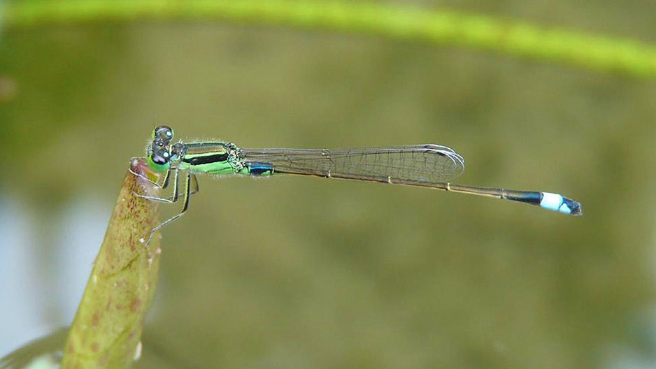
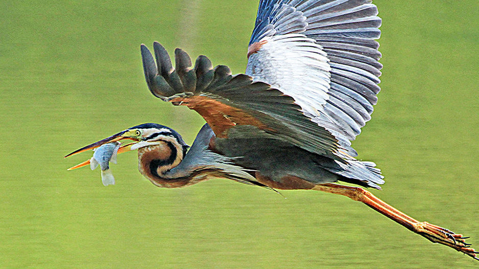
The naturalised river has enabled flora and fauna to flourish and also attracted wildlife which were previously not seen around the concrete canal.
Try spotting the following plants, insects and birds as you walk along the river banks. You will likely see many other species too!