SG crestA Singapore Government Agency WebsiteHow to identify
Official website links end with .gov.sg

Government agencies communicate via .gov.sg websites (e.g. go.gov.sg/open). Trusted websites

Secure websites use HTTPS

Look for a lock () or https:// as an added precaution. Share sensitive information only on official, secure websites.

Hiking and nature walks at Central Catchment Nature Reserve

Free of charge

About the boardwalks and trails

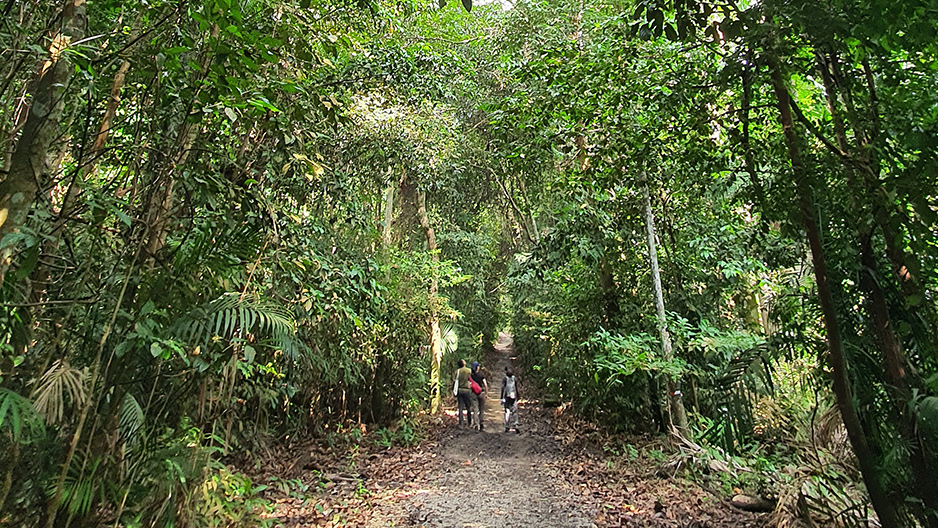
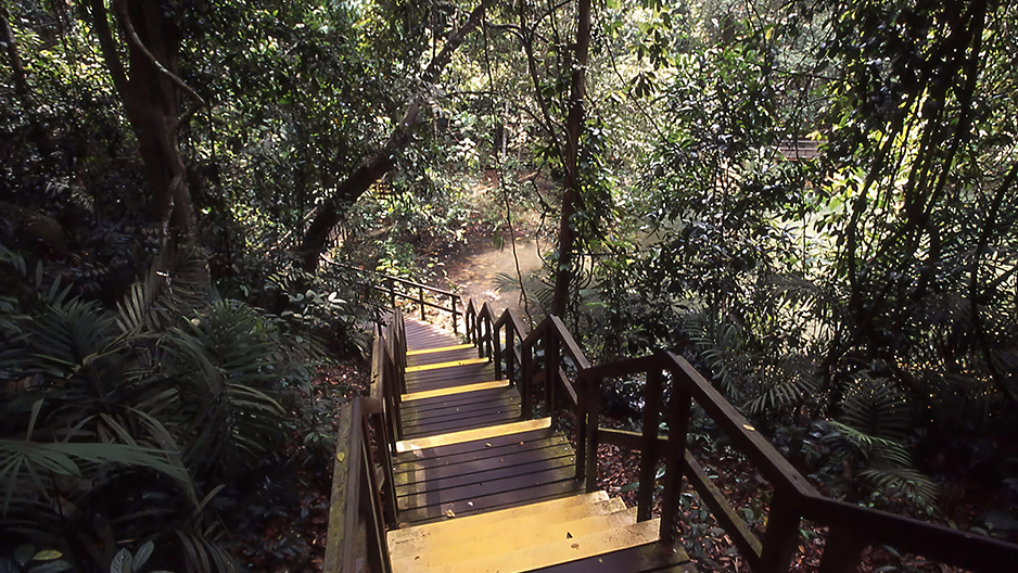
Get up close with nature in the Central Catchment Nature Reserve through the MacRitchie trails. This 20km network of trails and boardwalks winds through over 2,000 hectares of forest around the MacRitchie Reservoir.

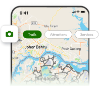
There are trails for different ages and fitness levels — view the park map (PDF, 566.53KB) to see all the routes.

Routes starting from MacRitchie Reservoir Park

  • Route 1 (Prunus Trail): Easy, 3km
    • This covers the boardwalks along the Prunus Trail and Petai Trail.
  • Route 2: Easy, 4.8km
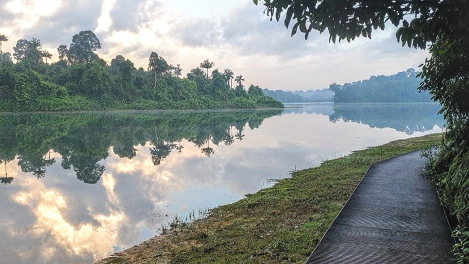
    • Walk along the water's edge on the boardwalks of Chemperai Boardwalk and Jering Boardwalk before looping back to MacRitchie Reservoir Park via Lornie Trail.
  • Route 3: Moderate to difficult, 10.3km
    • Explore the TreeTop Walk with this looping trail that brings you back to your starting point at MacRitchie Reservoir Park.
  • Route 4: Moderate, 11km
    • Circle the entire nature reserve with this path which passes the Jelutong Tower instead of the TreeTop Walk.
  • Route 5: Difficult, 9.5km
    • This starts with the same path as Route 3, but continues onto Sime Track which leads you to Rifle Range Road instead of looping back to where you started.

Other trails

  • Route 6 (TreeTop Walk): Moderate to difficult, 7km
  • Singapore Island Country Club’s Public Access Trail: Easy, 1.8km
    • This trail along the Singapore Island Country Club connects the Central Catchment Nature Reserve with Upper Peirce Reservoir Park. It is accessible from Windsor Nature Park, Upper Peirce Reservoir Park and MacRitchie Reservoir Park (via the MacRitchie Nature Trail).
    • It is open from 7am to 6pm daily. View the trail map.

Recommended trails

Find out more about these recommended paths through the trail guides:

This trail takes you from Windsor Nature Park to TreeTop Walk, a 250m-long freestanding suspension bridge. The first of its kind in Singapore, it connects the 2 highest points in the Reserve for you to enjoy a panoramic view of nature and the waters of Upper Peirce Reservoir.

Opening hours for the TreeTop walk

  • Mondays (except public holidays): Closed
  • Tuesdays to Fridays: 9am to 5pm (last entry at 4:45pm)
  • Weekends and public holidays: 8:30am to 5pm (last entry at 4:45pm)

Quick facts about the TreeTop Walk

  • Difficulty level: Moderate to difficult. The trail is not suitable for pregnant ladies, young children, the disabled, people with a fear of heights or a pre-existing heart condition.
  • Trail length: About 7km
  • Estimated walking time: 3 to 4 hours

What to look out for

Keep your eyes peeled for some of these highlights:

View the TreeTop Walk trail guide (includes map) (PDF, 3.53MB)

This short trail offers beautiful views of the MacRitchie Reservoir against a backdrop of dense rainforest. Enjoy close encounters with interesting trees and plants, as well as the chance to spot unique wildlife.

Quick facts about the Prunus Trail

  • Difficulty level: Easy
  • Trail length: 3km
  • Estimated walking time: 1 hour

What to look out for

Keep your eyes peeled for some of these highlights:

View the Prunus Trail guide (includes map) (PDF, 1.38MB)

Taking place mostly on the boardwalk, this short and easy trail offers a chance for people of all ages to enjoy panoramic views of the water and a chance to spot native birds.

Quick facts about the Chemperai Trail

  • Difficulty level: Easy
  • Trail length: 1.5km
  • Estimated walking time: 30 minutes

What to look out for

Keep your eyes peeled for some of these highlights:

View the Chemperai Trail guide (includes map) (PDF, 1.21MB)

Note

  • You should follow the dos and don'ts and hiking etiquette during your hike.
  • If you are planning to organise group activities involving more than 30 persons (such as group learning journeys and hiking), you will need to apply for a permit at least 1 month in advance.
  • For commercial filming and photography, you will need to apply for a permit at least 2 weeks in advance, subject to NParks' approval.

Advisory on the Shinto Shrine

The Shinto Shrine is located within the core nature conservation area of the Central Catchment Nature Reserve. This area is closed to the public. There are no designated trails to the Shrine.

If you are interested to find out more about the Shinto Shrine, visit the site marker located at the junction of Adam Road and Sime Road.

Entering or leaving any part of a nature reserve that is closed to the public is an offence under the Parks and Trees Regulations, which carries a penalty of a fine of up to $2,000. We seek your co-operation to stay on the designated trails.