Government agencies communicate via .gov.sg websites (e.g. go.gov.sg/open). Trusted websites
Look for a lock () or https:// as an added precaution. Share sensitive information only on official, secure websites.
Free of charge
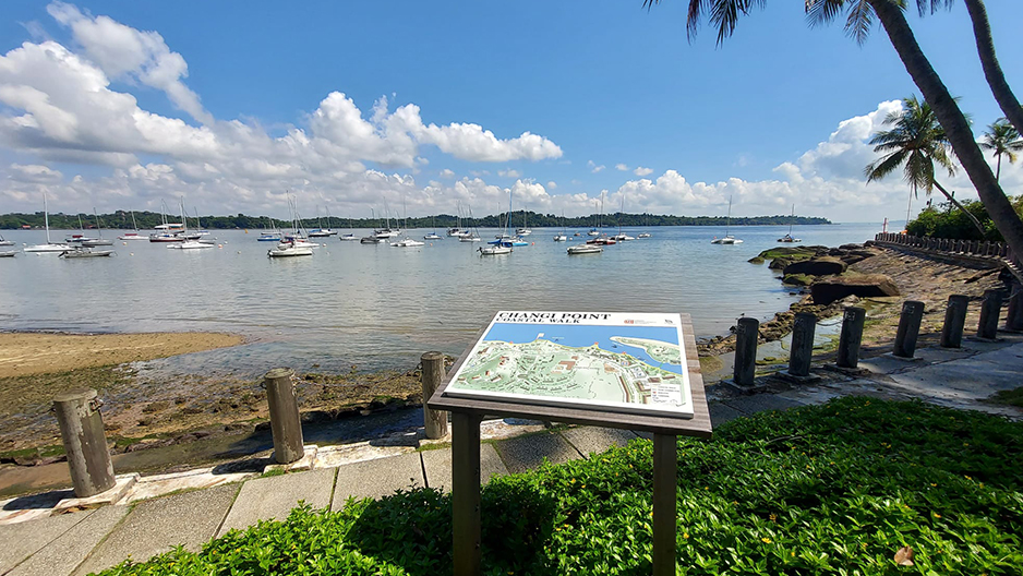
The 2.2km well-lit Changi Boardwalk has 6 distinct sections that stretch across the coast.
View the guide for more information, including a map (PDF, 1.55MB)
This section is the start of the boardwalk, located where the Changi Ferry Terminal is. You can see bumboats ferrying people to and from the offshore islands, such as Pulau Ubin from here. At low tide, you can also see sea stars and crabs.
From here, you can easily spot the Civil Service Club’s Changi Clubhouse, which is housed in a conservation bungalow. Manasseh Meyer built this bungalow before the British surveyed the area in 1927. He was a wealthy Jew who also built the Chesed-El Synagogue at Oxley Rise in 1905.
Trail length: 280m
As the name implies, this section of the boardwalk is located beside the beach. Take a leisurely stroll to enjoy picturesque views of the beach and the coastline.
Trail length: 660m
This is a great spot for enjoying open views of the sea or watching sailboats go by. You can see the yachts anchored at this section of the boardwalk.
From here, you can see the Changi Sailing Club, which began in 1936 as the Changi Garrison Yacht Club. It was started by a group of British soldiers from the Royal Engineers, stationed here before World War II.
Trail length: 600m
Linger along this shady, lush stretch and you may feel like you are deep in the forest. This section of the boardwalk follows the terrain and contours of the land. Trees which have been here for years, as well as boulders, were left untouched, right next to the boardwalk.
There are also viewing decks constructed along the walk which offer panoramic views of the surroundings.
Trail length: 280m
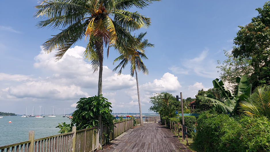
This stretch of the boardwalk extends into the sea. It is built above water on kelong-like stilts, reminiscent of kelong days in the past.
Spot the Changi Beach Club along the shore from this section of the boardwalk. Originally the British Airforce Officers’ Club, it became the Changi Swimming Club under the National Sports Promotion Board (now Singapore Sports Council) in 1972, and got its present name when it was privatised in 1988.
Trail length: 200m
This section of the boardwalk marks the end of the boardwalk. It allows you to enjoy a splendid view of the sunset at the western end of Changi Point, amid a backdrop of huge boulders. In the evening, the walkway is lit and you can see the lights of the Punggol housing estate in the distance.
From here, you can choose to go via the way you came from or head back to Changi Ferry Terminal via Cranwell Road and then Netheravon Road. The walk down Netheravon Road is another 2.5km.
Trail length: 120m